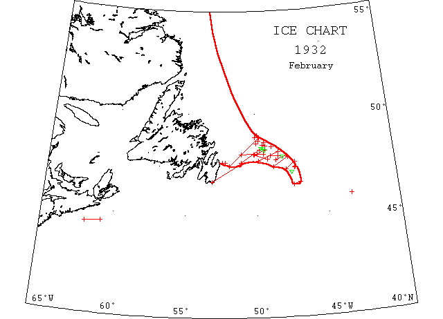
February

Feb 9 4827’N 40[probably 49]30’W the broad strip [as in IIP] extending NW and SE as far as could be seen.
Feb 25 SS “Drottingholm” between 4433’N 6050’W and 4427’N 6157’W passed field ice with many growlers.
Feb 27 SS “Drottingholm” between 4628’N 4720’W and 4634’N 4651’W passed drift ice and some growlers.
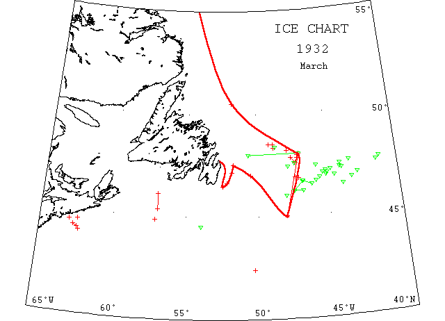
March

Mar 12 SS “Uruguayo” 4830’N 4850’W passed some small bergs and field ice.
Mar 15 (from St. John’s): SS “Ranger”, sealer, was jammed in heavy ice 15m off Funk Is., propeller gone but in no immediate danger, SS “Kyle” gone to tow her back.
Mar 22 IIP field ice position extends from 4736’N 4715’W to the northwestward as far as could be seen.
Mar 30 IIP reports ice fields between 48N 47W and 45N 48W.
Mar 31 SS “Transylvania” 4625’N 4358’W a large berg.
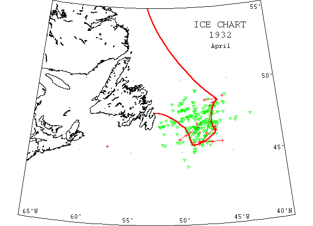
April

Apr 3-5 SS “Kelkheim” 4822’N 4643’W passed the southeastern point of a large ice field which extended N and S for a distance of ~200m; 4th, 4615’N 4728’W passed the southern point of the above ice field; 4617’N 4823’W sighted small bergs and growlers; 5th, 4545’N 4752’W sighted field ice and growlers and in 4534’N 4850’W encountered field ice and growlers.
Apr 6 A steamer icebound 200m 85 from Cape Race.
Apr 8 IIP reports heavy ice northward of positions 4541’N 4658’W to 4541’N 49W.
Apr 9 SS “Thuhaug” was 200m east of Cape Race proceeding south to escape heavy ice which had held her up since the 3rd [see Apr 6]. The bow plates were somewhat damaged but making satisfactory progress.